Surveying & Data Collection
High quality data collection
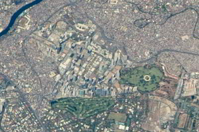
For small to medium areas as well as 3D modelling, Bosys uses in-house capabilities to acquire the data needed for the creation of many of its products. For larger areas - exceeding 15 km², external sources are used to acquire the required data with processing also completed in-house.
Aerial Surveying
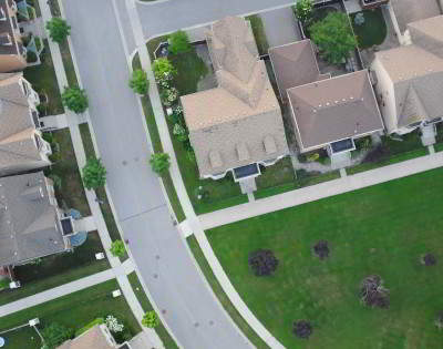
Bosys utilizes advanced Remotely Piloted Aircraft Systems (RPAS) for collection of high resolution aerial imagery used to create actionable and precise geospatial products that are economical, within 1 to 3 cm in accuracy, and a fast turnaround. All RPAS operations are conducted by experienced and licensed pilots, and strictly follow aviation regulations and safety and security protocols. Bosys uses in-house data processing to generate the geospatial products derived from the imagery in any required standard industry formats.
Traditional Surveying
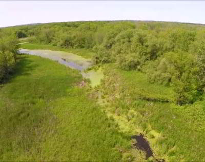
For projects that require detailed surveys, such as roads, where some of the project details are not visible through remote sensing, or site conditions do not favour an aerial survey due to high vegetation, snow or water cover, conventional surveying methods are used to collect the required data needed to complete the job. Bosys uses its in-house or partner survey crews as needed to ensure jobs get completed on time.
Inspection
Visual inspections are critical to assessing the condition and maintaining assets such as high structures (cell or power towers, windmills, etc.), dams and drainage canals in inaccessible areas. Bosys provides a safe method to collect data for dangerous or hard to reach places and produces visual records in RGB and/or Thermal formats to assist engineers in assessing the conditions and plan for maintenance if and when required.
3D Modeling
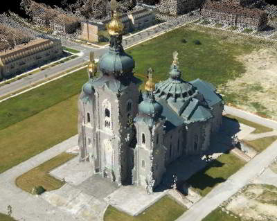
The 3D models provided by Bosys are digital replicas of existing structures created with survey quality precision using state-of-the-art equipment and computer software. The 3D models are georeferenced for correct positioning on maps or technical drawings and are suitable for visual inspections, accurate measurements, as-built records, renovation design, and detailed presentation purposes.